

REMAPPING THE ENTIRE NAVIGABLE MEDITERRANEAN
The 2026–2029 Mission
The objective of the 2026–2029 mission is to consolidate and expand the project's scientific legacy by addressing the Mediterranean’s key environmental challenges through an integrated approach.
The project aligns with Europe's leading marine conservation initiatives, combining multidisciplinary research with public outreach to support evidence-based decision-making founded on robust scientific data.
THE ROUTES
e mission is expected to cover approximately 7,500 nautical miles, involving 60 researchers, 40 universities, 15 academic theses, and 20 scientific publications.
As the project has evolved from an annual initiative into a four-year programme, its ambition is to establish a stable network of research partners and institutions, ensuring scientific and operational continuity throughout the mission.

Tyrrhenian Sea, Adriatic Sea, Northwestern Mediterranean, and Southeastern Mediterranean
2026 Tyrrhenian Sea; 2027 Adriatic Sea; 2028 Northwestern Mediterranean; 2029 Southeastern Mediterranean. Four missions that will enable the comprehensive remapping of the entire navigable Mediterranean Sea.
ONE'S JOURNEY
FOLLOW US ON INSTAGRAM


2026 MISSION
TYRRHENIAN SEA
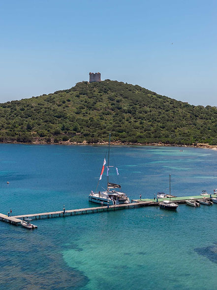
The Caprera catamaran set sail on 16 May 2026 from the Italian Navy base in La Maddalena, a longstanding supporter of the project, on a 10-week mission that will follow the Tyrrhenian coastline before returning to Caprera on 21 July.


MAJOR SCIENTIFIC RESEARCH AREAS

MARINE
POLLUTION

BIODIVERSITY
AND ALIEN SPECIES

ACOUSTIC
POLLUTION

CLIMATE
CHANGE
2026-2029 MISSION
PROJECT'S PARTNERS

2026-2029 MISSION

M.A.R.E. PROJECT
SUPPORT US
for further information or to support the M.A.R.E. Project contact us at mare@centrovelicocaprera.it